Aéroport international Léopold Sédar Senghor
ABOUT US
Mon - Fri, 2022
7:30 AM – 3:30 PM
Immeuble San Marco
BP 8163 Dakar - Sénégal
+221 33 865 40 27
Contact@satnav-africa.org
Mon - Fri, 2022
7:30 AM – 3:30 PM
Immeuble San Marco
BP 8163 Dakar - Sénégal
+221 33 865 40 27
Contact@satnav-africa.org
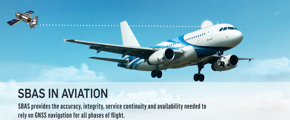
SBAS provides the accuracy, integrity, service continuity and availability needed to reply on GNSS navigation for all phases of flight.
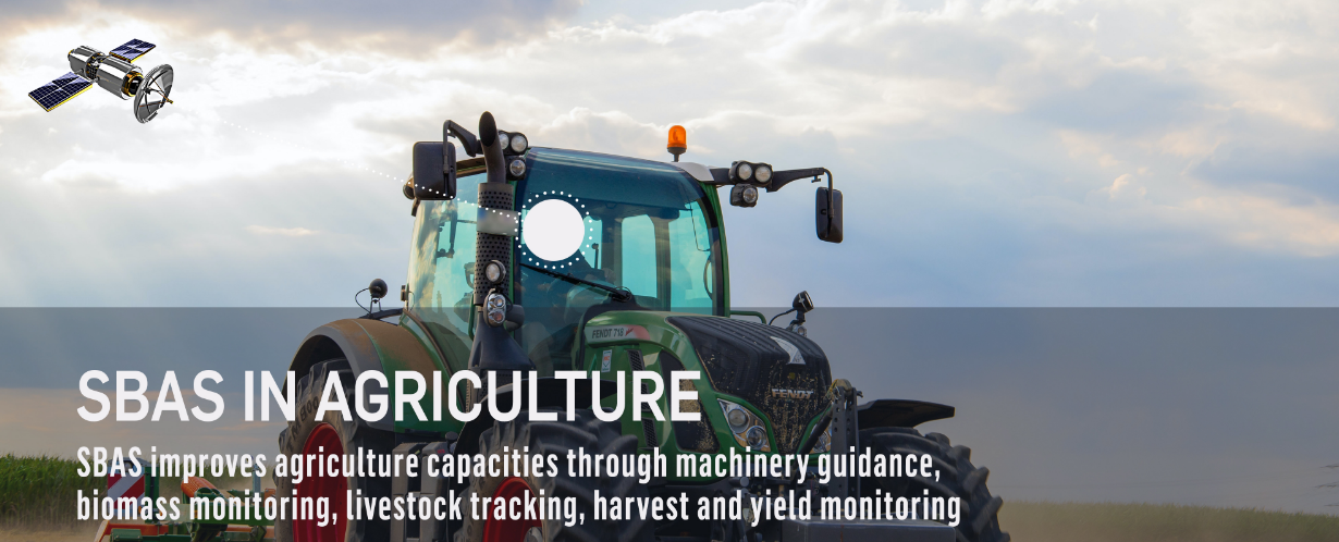
SBAS improves agriculture capacities through machinery guidance, biomass monitoring, livestock tracking, harvest and yield monitoring
SBAS provides the accuracy, integrity, service continuity and availability needed to reply on GNSS navigation for all phases of flight.
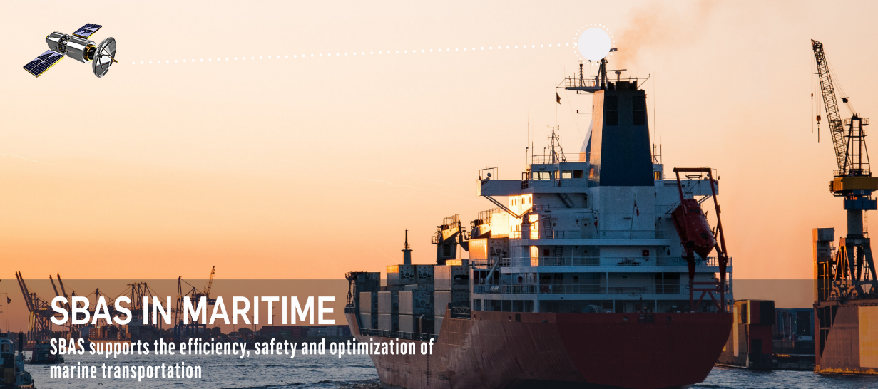
SBAS support the efficiency, safety and optimization of marine transportation
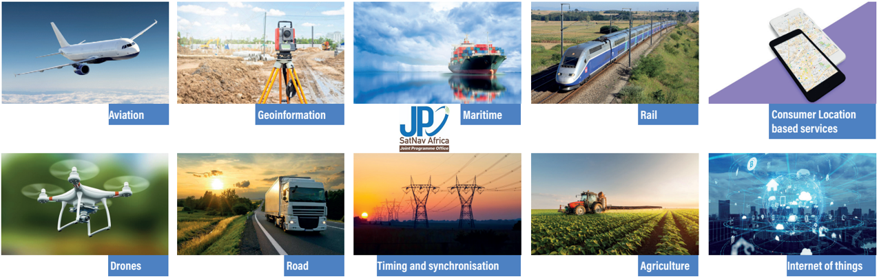
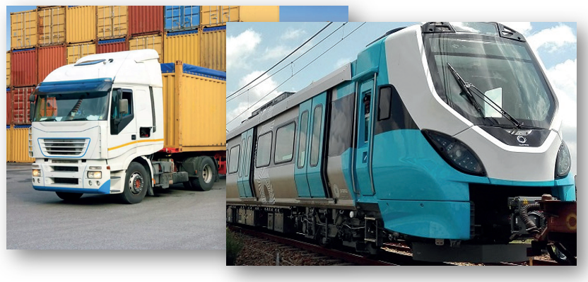
SBAS can deliver integrity and accuracy to Safety Critical applications and specific transport/logistics applications such as:
GNSS enables a wide range of Location-Based costumer solutions for a multitude of applications. Now, a new wave of innovative applications call for better GNSS performance which can be used in combination with other disruptive technologies (IoT and 5G).

Typical applications in this sector include the following :
Through SBAS added value of increased position accuracy and integrity, drones can be used across the sectors mentioned to achieve operational needs efficiently and effectively.